|
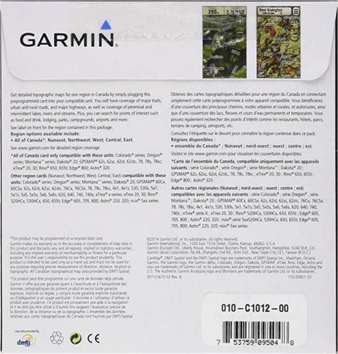
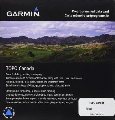
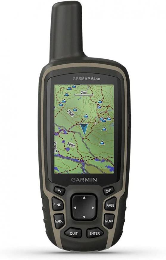
We''ve mapped every hill and valley for your next great adventure. With detail and precision, TOPO Canada - West, covers the finer details of the outdoors, including terrain contours, topo elevations, summits, routable roads and trails, rivers, lakes and geographical points. TOPO maps are ideal for hiking, hunting, camping, cycling and communing with nature. Coverage includes topographic detail of British Columbia, Alberta and Saskatchewan. Also includes full coverage of Wood Buffalo National Park and the Queen Charlotte Islands. Features & details Features - Provides detailed maps, based on digital 1:50,000 or 1:250,000 scale NTS map data, for British Columbia, Alberta, Saskatchewan, Wood Buffalo National Park, and the Queen Charlotte Islands
- Contains many routable roads and trails
- Includes points of interests such as parks, campgrounds, scenic lookouts and picnic sites
- Displays general shoreline, lakes, rivers, and powerlines
- Labels summits, peaks and other geographic points
Product information | Item Weight |
2.4 ounces | | Domestic Shipping | Item can be shipped within U.S. | | International Shipping | This item can be shipped to select countries outside of the U.S. Learn More | | ASIN |
B0024FAQWQ | | Item model number |
010-C1012-00 | | Customer Reviews | 3.8 out of 5 stars 45Reviews |
| Best Sellers Rank |
#460,911 in Electronics (See Top 100 in Electronics)
#373 in Marine GPS Units & Chartplotters
#90,345 in Fishing Equipment
| | Other display features |
Wireless | | Manufacturer |
Garmin | | Country of Origin |
Taiwan | | Date First Available |
March 15, 2007 | If you''d like a copy of the manufacturer''s warranty for a product found on Amazon.com, you can contact the manufacturer directly or visit their website for more information. Manufacturer''s warranties may not apply in all cases, depending on factors like the use of the product, where the product was purchased, or who you purchased the product from. Please review the warranty carefully, and contact the manufacturer if you have any questions.
|

